Tarangire National Park
Overview
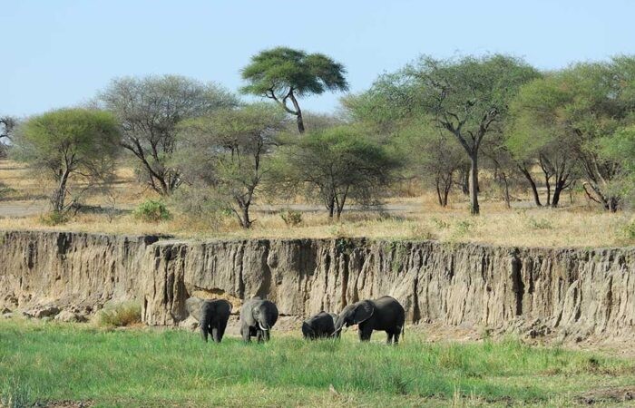
Tarangire National Park is a national park in Tanzania’s Manyara Region. The name of the park originates from the Tarangire River that crosses the park. The Tarangire River is the primary source of freshwater for wild animals in the Tarangire Ecosystem during the annual dry season. It covers an area of approximately 2,850 square kilometers (1,100 square miles.) The landscape is composed of granitic ridges, river valleys, and swamps. Vegetation is a mix of Acacia woodland, Combretum woodland, seasonally flooded grassland, and baobab trees.

Description
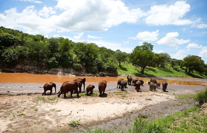
Tarangire is a national park in Tanzania’s Manyara Region. The name of the park originates from the Tarangire River that crosses the park. The Tarangire River is the primary source of freshwater for wild animals in the Tarangire Ecosystem during the annual dry season. The Tarangire Ecosystem is defined by the long-distance migration of wildebeest and zebras. During the dry season, thousands of animals concentrate in Tarangire National Park from the surrounding wet-season dispersal and calving areas.
It covers an area of approximately 2,850 square kilometers (1,100 square miles.) The landscape is composed of granitic ridges, river valleys, and swamps. Vegetation is a mix of Acacia woodland, Combretum woodland, seasonally flooded grassland, and baobab trees.

Climate
There are two rainy seasons – “short rains” from November to December and the “long rains” from March to May. The wettest month (with the highest rainfall) is April (161 mm (6.3 in) and it also has the highest number of rainy days (19 days). The driest months (with the lowest rainfall) are July, August, and September (1 mm (0.039 in). September also has the lowest average number of rainy days (2 days). The warmest months (with the highest average high temperature) are January, February, and March 30 °C (86 °F). Months with the lowest average high temperature are June and July 25 °C (77 °F). The adjacent highlands tend to be cooler with more rainfall.

Location
Lake Manyara National Park has located 126 km (78 mi) southwest of Arusha and can be reached by car in an hour and a half. The park can also be reached from Babati the capital of the Manyara Region. Lake Manyara Airport is nearby. To the south of the park is the 35,399 ha Marang Forest Reserve, situated on the escarpment above the park. To the east are the Kwa Kuchinja Wildlife Migration corridor, which allows wildlife to migrate between the nearby Tarangire National Park to the southeast, Lake Manyara to the west, and the Engaruka Basin to the north. Within the Kwa, Kuchinja corridor is several villages. Further from the lake and outside of village land is the 45,000-acre Manyara Ranch, a former livestock ranch, managed by the Tanzania Land Conservation Trust since 2001 and an important part of the corridor allowing wildlife movement between Tarangire and Lake Manyara national park.
Let’s start planning now your next African Adventure!

